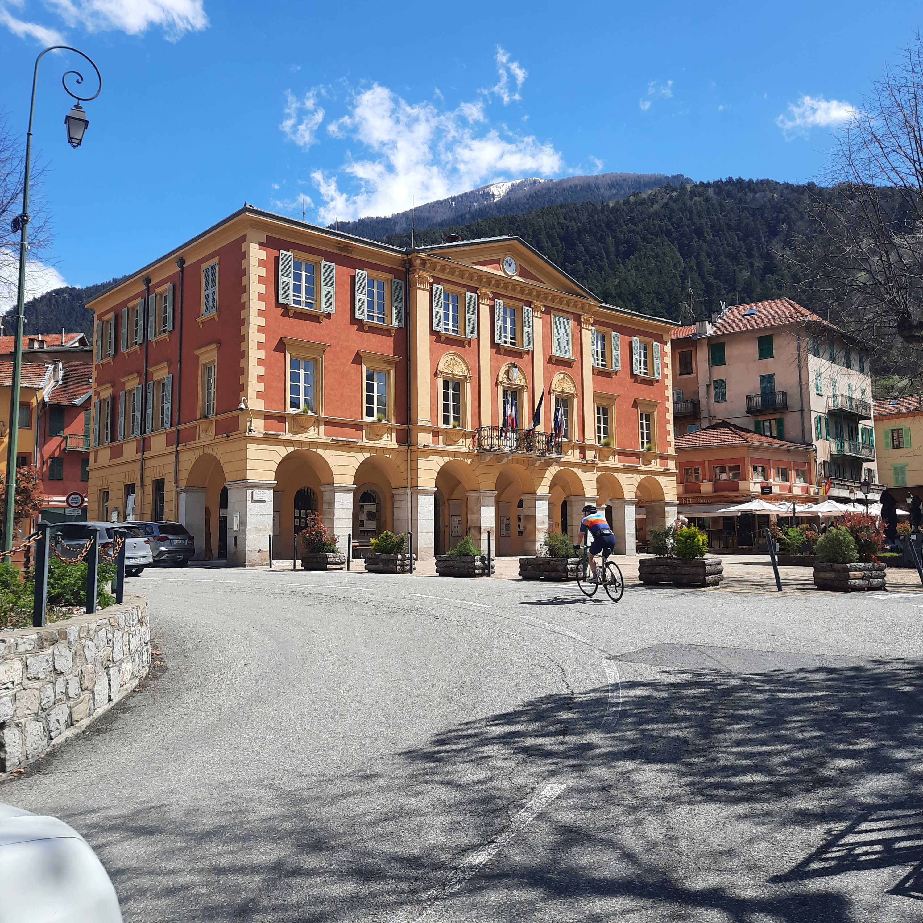
A few days ago I travelled over to Nice with a client who will be doing the Etape du Tour with us this July. He wisely wanted to check out the route and see what all the fuss is about with this year’s event. What follows is a little idea of what you might expect on the day, plus a few of my personal thoughts on the route. But first, here’s the full route and profile for you:

The ‘race’ will start near the Promenade des Anglais in the heart of Nice and the first 10km or so are flat (and not very pretty). It’s a nice warm up for what’s to come. My view of this section is that your biggest worry is wind once you get out of the city, but the peloton will be massive at this point, so find a few big riders and save some energy for later on!
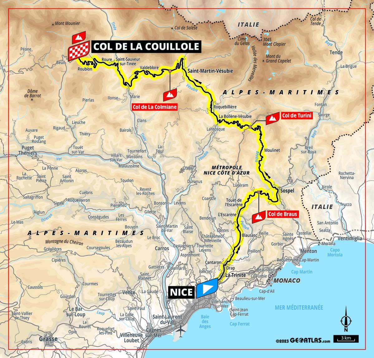
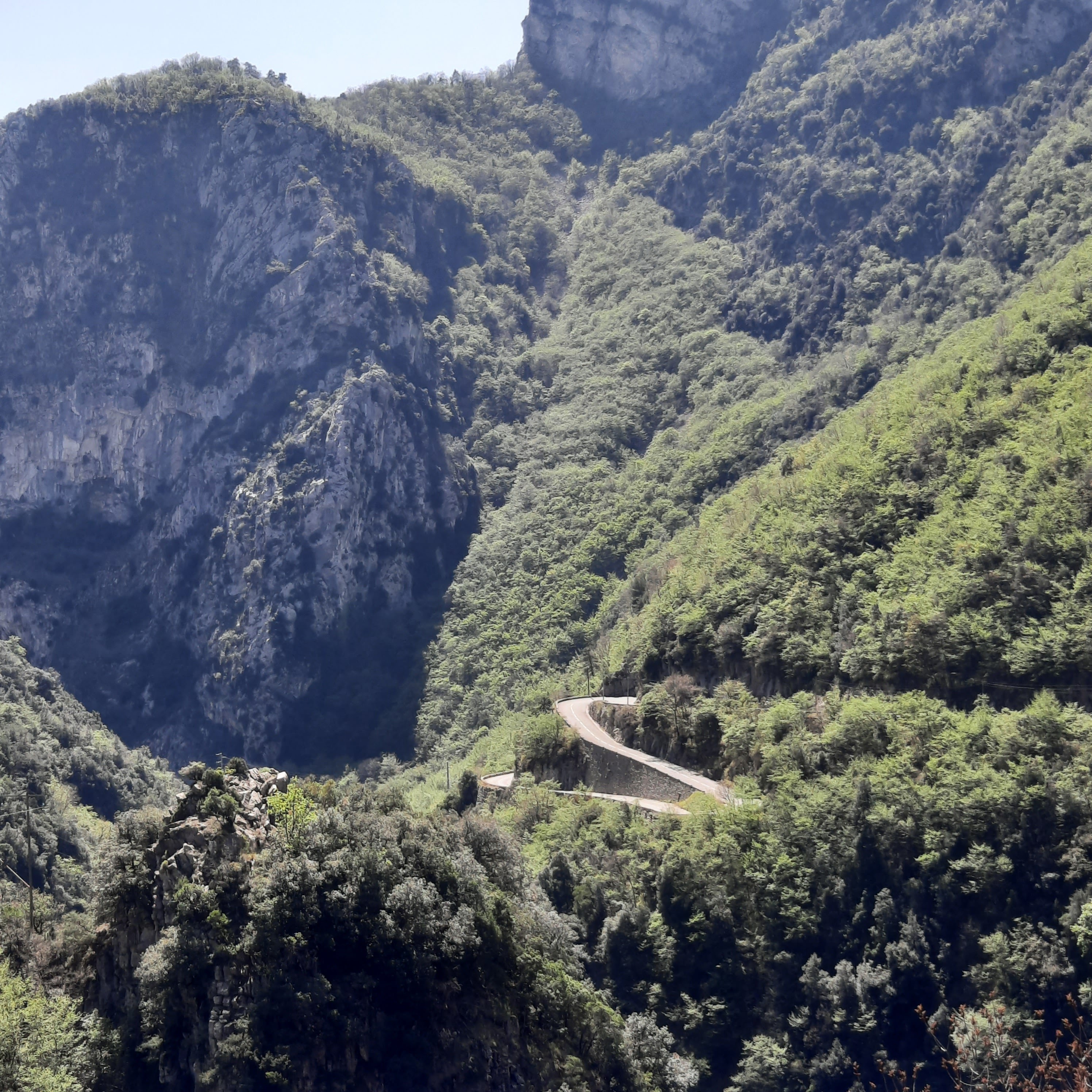
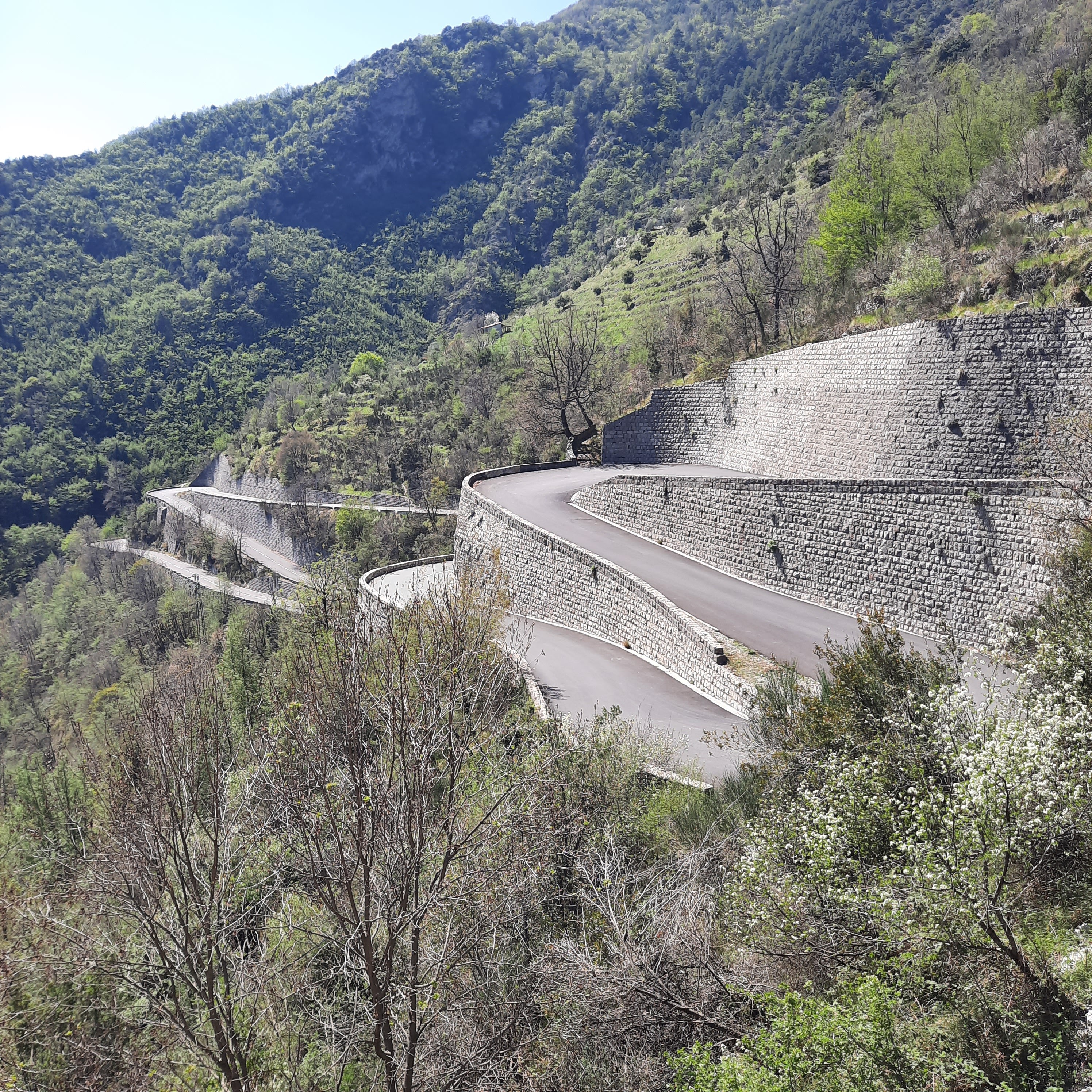
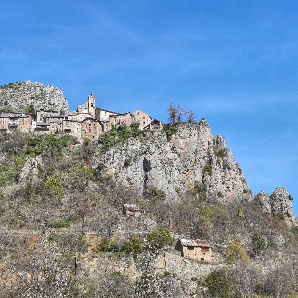
The Col de Braus climb is pretty and you have some great switchbacks and views to the Mediterranean, if you want to turn your neck that way. And because you can see back towards the sea, it means you are exposed to the south. This seemed to be the case for much of your future Etape, i.e. there’ll be a lot of sun beating down on you. It is also July on the Mediterranean (you are definitely still in the Med zone here, not the high Alps), so if I were riding it this year I’d be looking to get acclimatized to the heat by training in the hottest part of the day from time to time. For those from more temperate climes, the heat can ruin an otherwise perfectly good Etape du Tour.
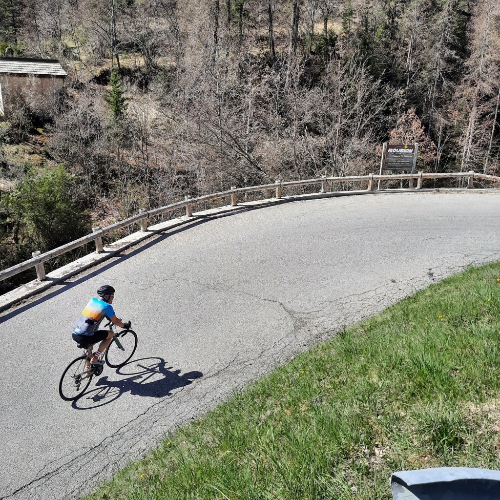
The descent off the Braus was not treacherous, which is all that I can remember. I know that one person’s ‘fun’ is another’s ‘horror’ when it comes to descents, but for an Alpine-ish parcours, the organizers have done well here. Don’t get me wrong, though – lots of turns of all manner of tightness. You get the idea.
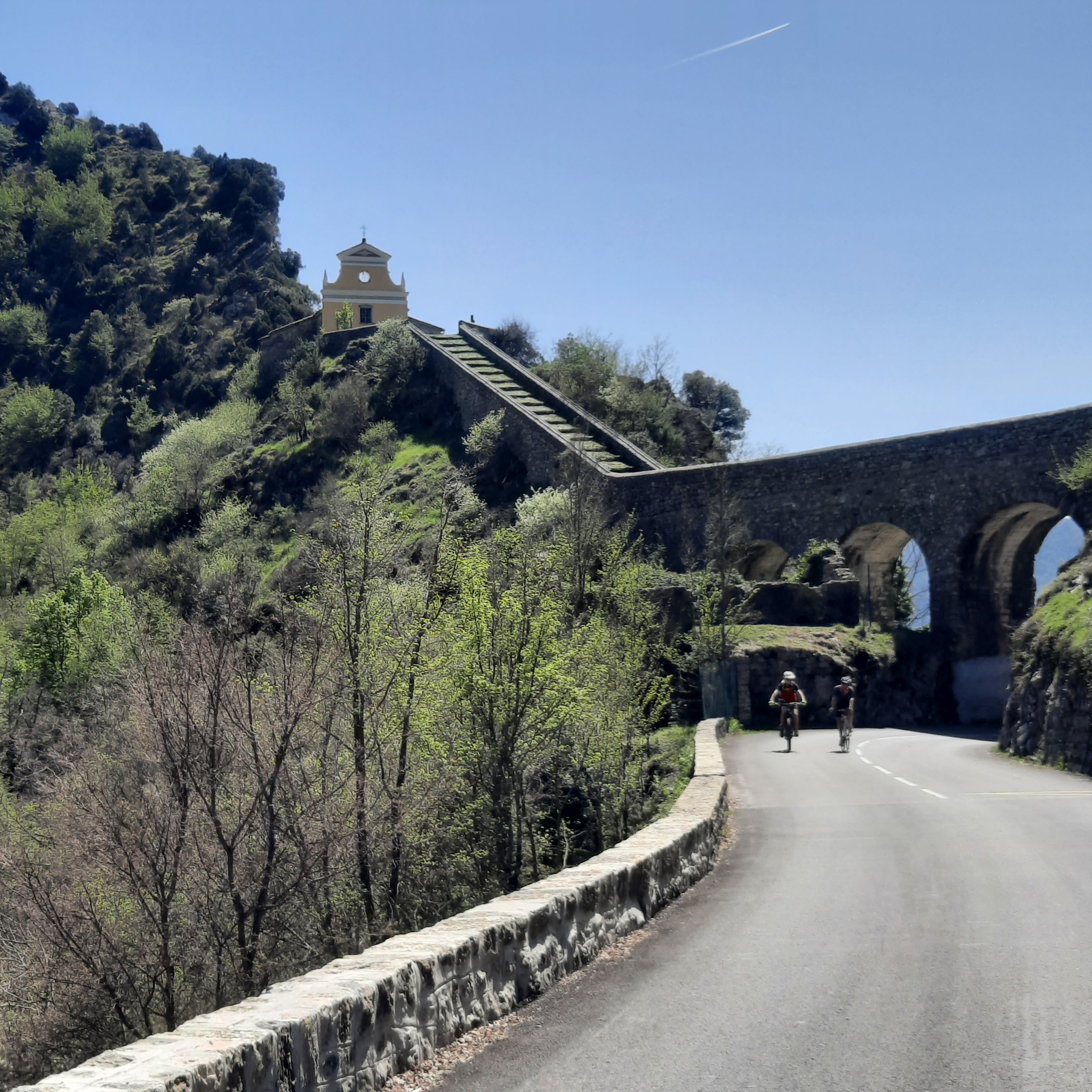
The next climb on the menu (Col de Turini) starts immediately after your descent, in the village of Sospel (water tap and two bakeries if you want to go hors piste and turn right into the village) and is the longest of the day (24km), but it’s not steep overall. Still, for many riders this could be a 2 hour climb, so saving energy here is going to be crucial later on in the day (for the mere mortals among us at least).
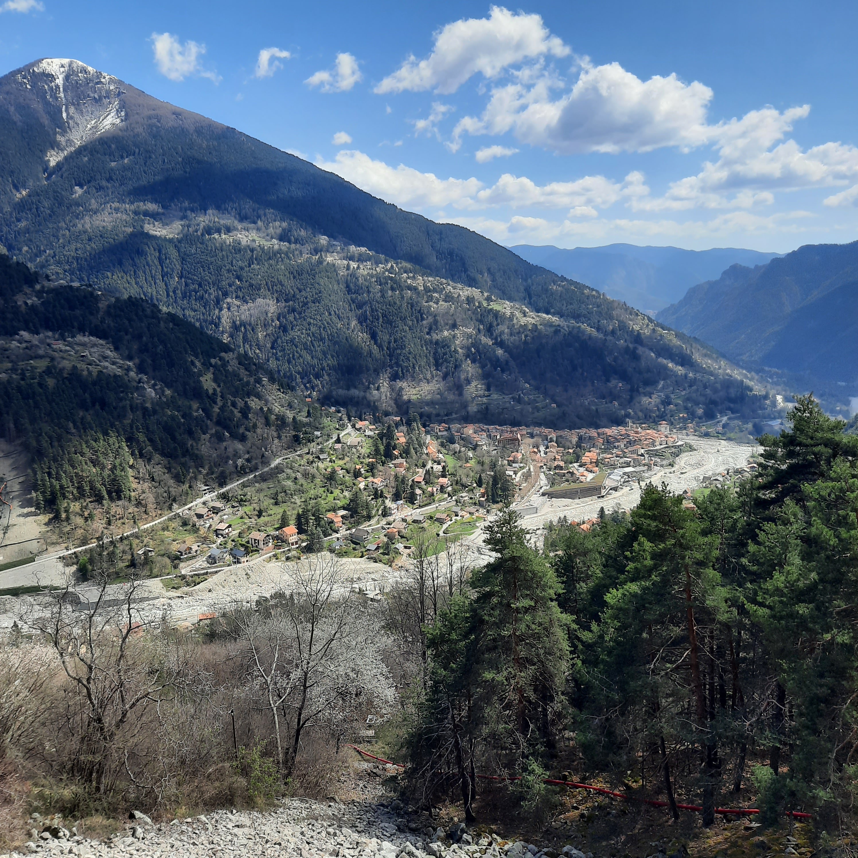
We didn’t do the Turini descent down to Lantosque, so I can’t help you there, but I can tell you that there’s maybe 7km in the valley after you get down there before the 3rd climb of the day – Colmiane / St. Martin. I’ve done a couple of Haute Route Alps up these valleys, as well as training rides and tours, and I’m sure there can be wind whipping down them the wrong way for Etape riders. At least it’s not that long, but you very well might have to find that linebacker to tuck in behind for this stretch, too.
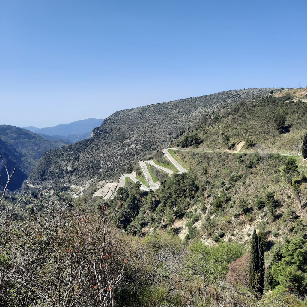
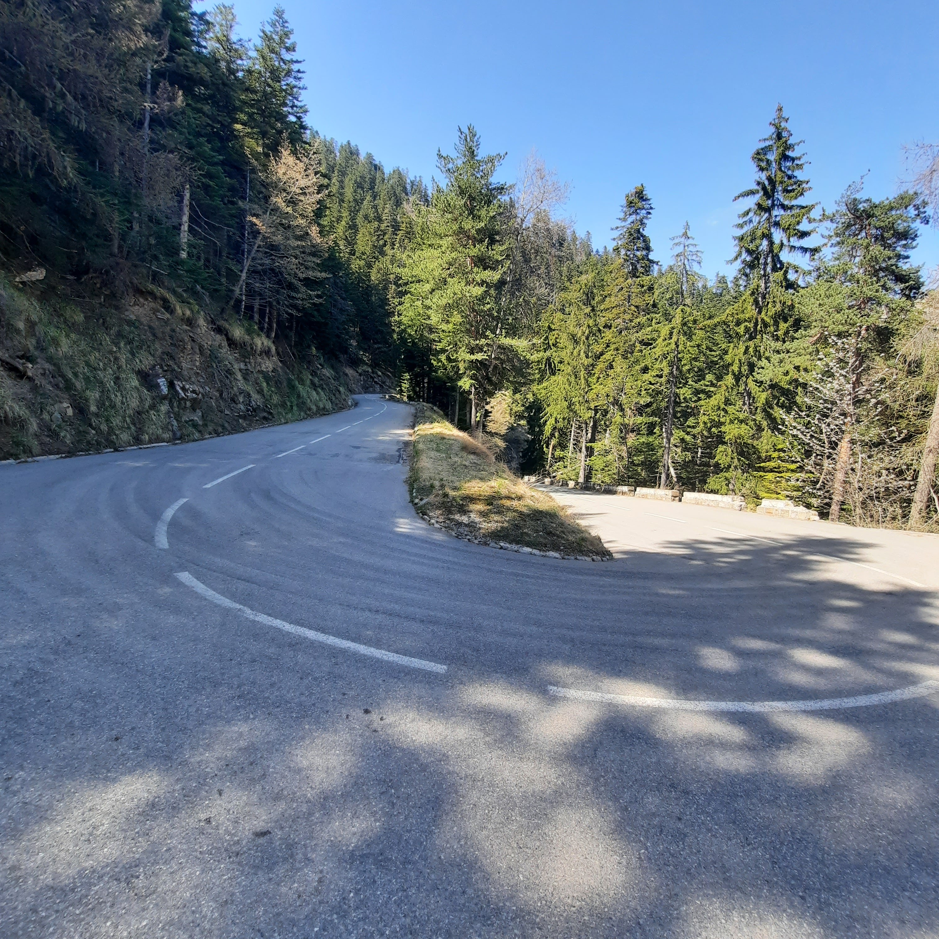
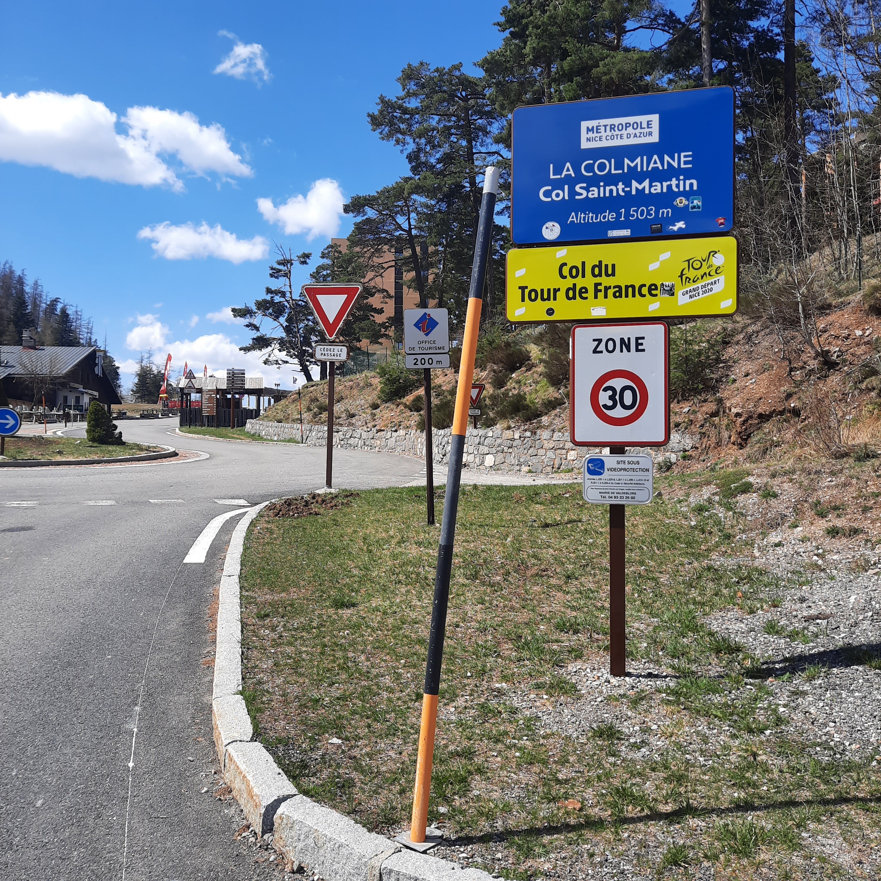
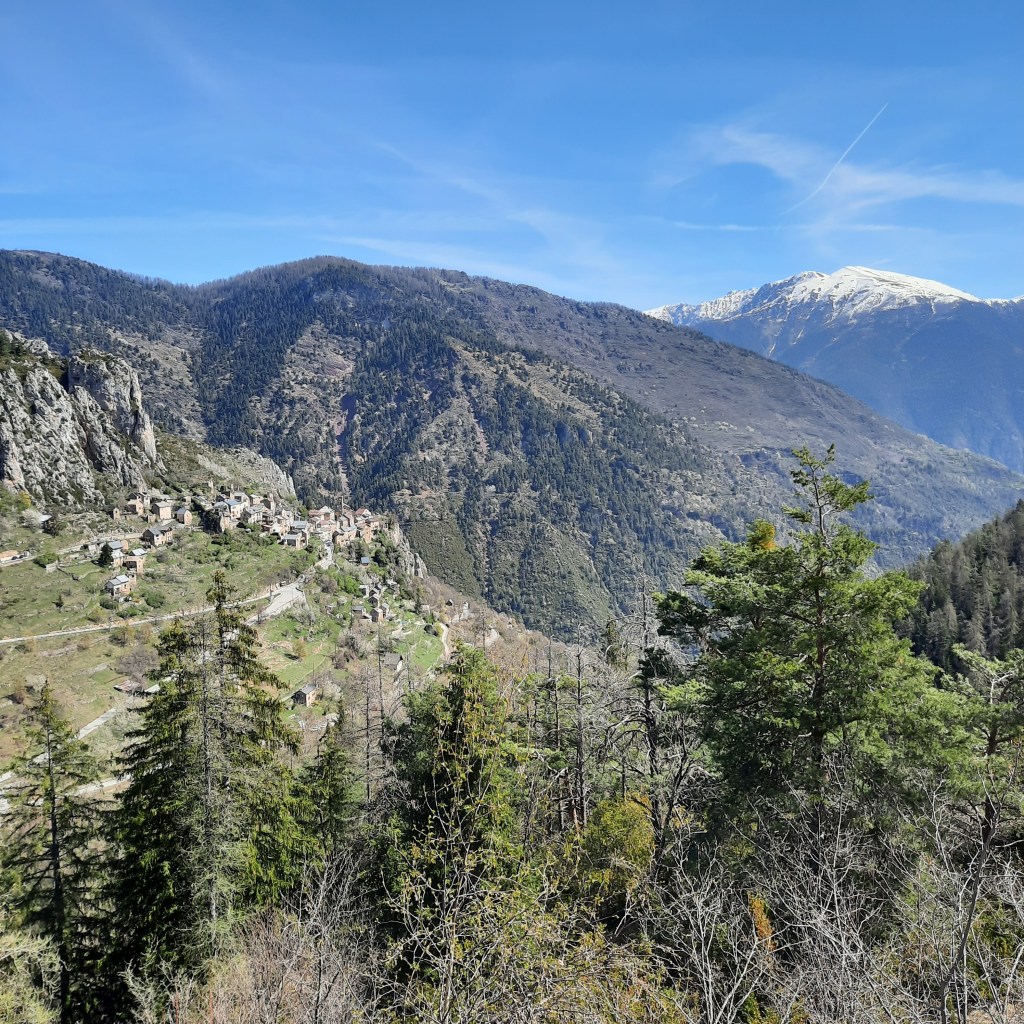
The Col de Colmiane is about 21km from the bottom of the Turini descent, but I don’t think it starts really climbing for a few kilometers. It was another beautiful climb and I don’t remember much, if any, double digit grades.
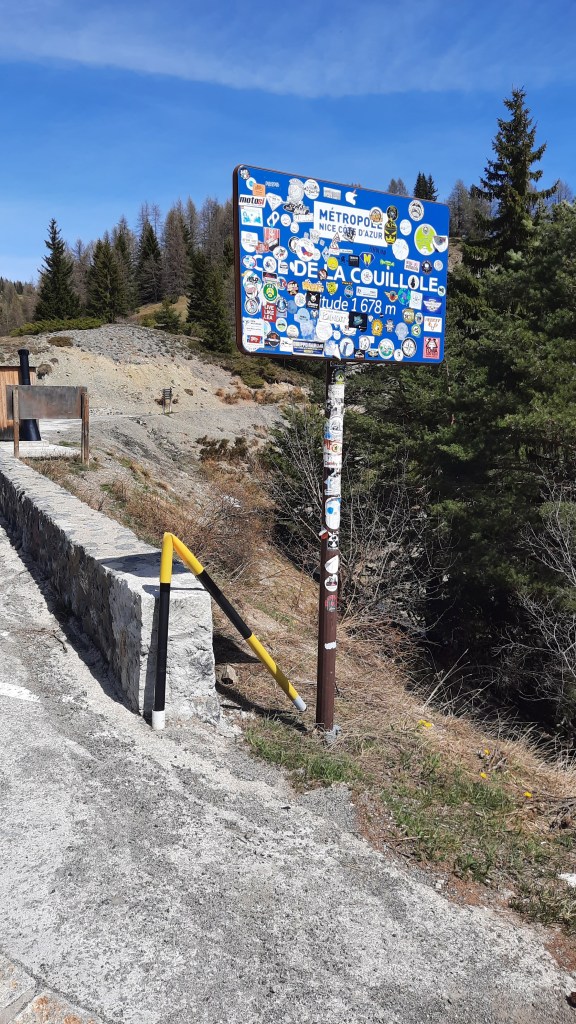
Like the Turini, I didn’t go down the other side of the Colmiane, but we did climb your last challenge of the day – the Col de la Couillole. Going back to the penultimate climb; although it wasn’t a massive a challenge on its own, it is the next-to-last climb on a ride that has 4600 meters of ascent. It might hurt if you don’t keep in mind what’s coming next.
I always have to remind myself that the Etape course is an exact replica of a stage of the Tour de France. In this case it replicates Stage 20, with the final stage being an individual time trial back in Nice. What you will be riding on July 7th is the last mountain stage of the Tour de France 2024, and the last climb of the last mountain stage of the Tour has probably never been a cakewalk.
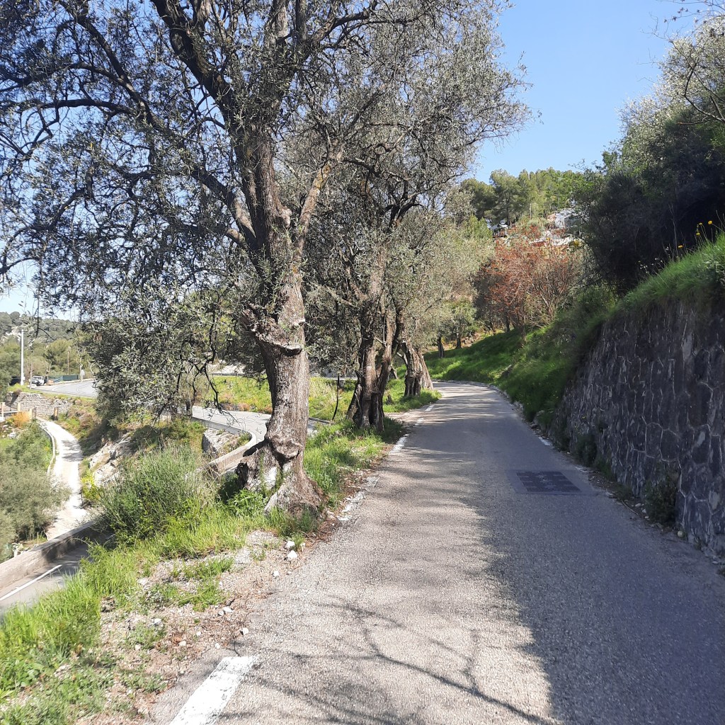
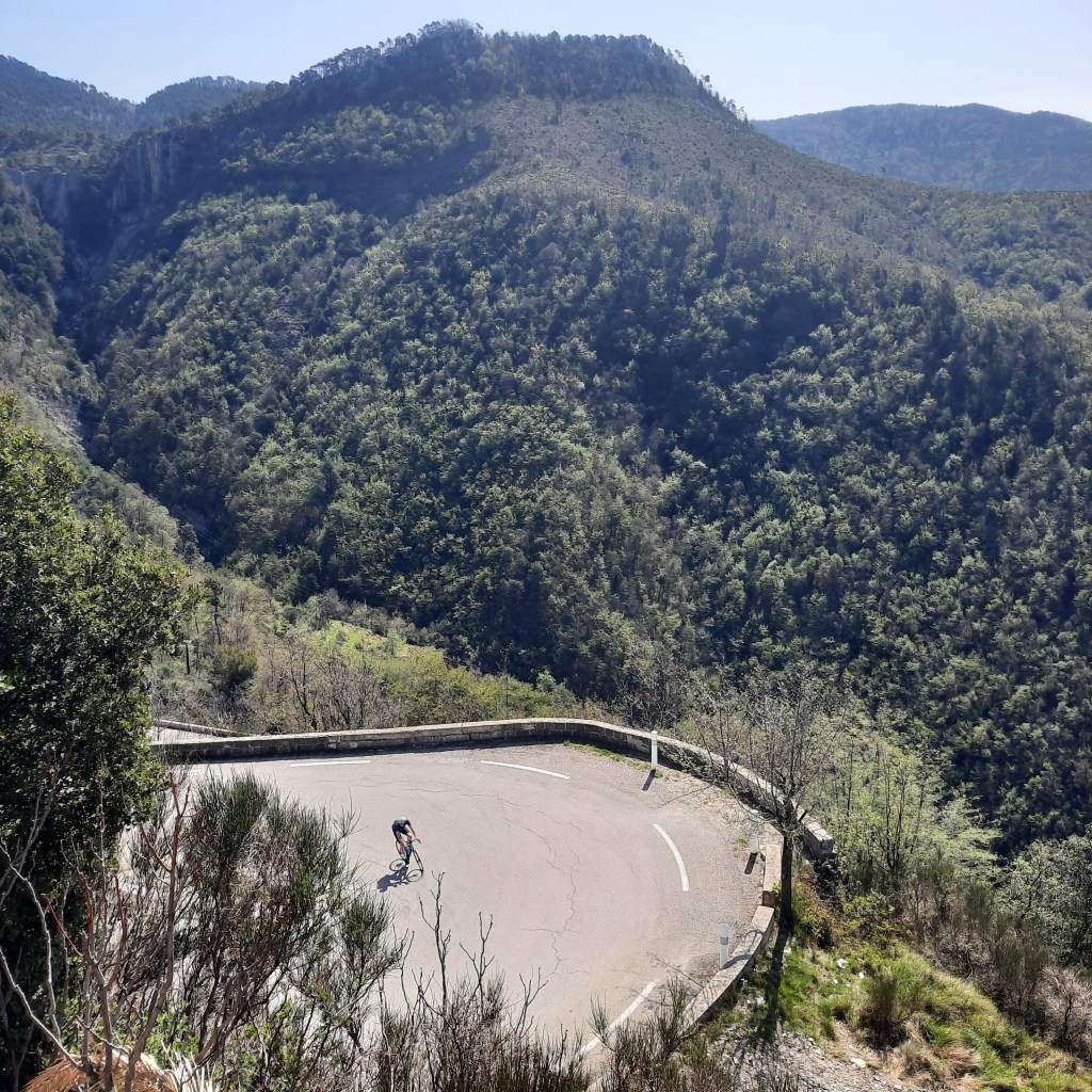
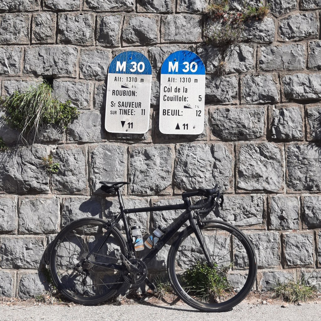
And so the tradition continues! I found the Col de la Couillole to be the toughest overall climb of our little trip. The stats tell the story very well here, which is not the case for every climb: from the bridge at the bottom it is 16km to the top, with an average gradient of 7.3%. It’s a very consistent climb and you will be looking at 7% and 8% a lot and nearly never anything below. If you like to pay attention to those markers that tell you what gradient you can expect over the following kilometer (example below), the last one on this climb says 6%, which is cute; I never saw anything under 8% and most of it seemed like 9%, right to the summit.

I’ve just run the Etape numbers (138km / 4600m) through the calculator and you will be climbing nearly 38 meters for every kilometer you ride (around 165 feet for every mile). If you pay attention to these things, you’ll know that’s a lot. Try seeing what you’ve done on recent rides to compare, then adjust as necessary if you are training for this event.
I should end on a positive note by saying that we found this route to be really beautiful. It’s a totally different feel from a high mountain Etape, with lots of dramatic hilltop villages and great views. It doesn’t hurt that you are right on the Cote d’Azur before and after the event, which is a pretty decent place to rest up or recover. Courage!

Great commentary on the parcours Gerry!
I have done all of these climbs multiple times and enjoy all of them.
Without a doubt the last one, Couillole, is the toughest, and not because it is last.
Braus is my favorite with such beautiful views and switchbacks to view your rivals :-). It’s also only 10kms with a brief downhill in the middle so you can kind of mentally break it up into two 4.5km climbs.
Turini is longer and also quite tough but there are some brief flat parts to recover a bit. The last 5 kms of Turini are difficult though and seem never ending. The descent down to Bollene de Vesubie (not lantosque btw) is a very fast descent where good descenders can gain a lot of time on not so good ones.
The climb up Col de la Colmiane is not difficult and indeed the first part in the valley is a bit of false flat at 2-4%. The last 6kms after st martin du vesubie are 6-7% though so if you are tired, it can still be tough.
In general, none of the descents are dangerous and they are all great for good descenders (something I’m looking forward to).
Overall, I give the parcours 5/5 stars. The main worry I have is what you already mentioned, the heat. All of these climbs are low altitude and can be very hot in July. Acclimation to heat will be key, especially early in the summer season. Definitely try to do some hot rides in June to prepare.
Also, if anyone wants to do a recon, I’m, mostly in the area for a guided ride if you like.
-Richvelo
Thanks, Rich. I actually did know that Lantosque wasn’t the bottom. We parked there, so I got confused.
I’m glad you agree with most of my points because I’d only ever climbed the last 2 in the past and I can’t say I remembered them.
One thing I didn’t mention is that it does seem like you might get some shade on the Couillole climb, but maybe that’ll depend on the time of the day you’re climbing it. There was more forest, anyway.
I was thinking the same thing about the descents. You can get some great speed on them, without too many 180 degree hairpins to slow you right down. For someone who can descend well, no question it’s an advantage. Wish I was doing it for that reason only!
Shade on Couillole will help but if you’re climbing mid-day or early afternoon in July it will likely be very hot, i.e. like Alpe d’Huez in L’etape du tour / La Marmotte.
On the descents – definitely made for good descenders. Most turns require no brakes so you can keep the speed. Maybe you can do l’Etape at the last minute just for fun?
I’ve got to drive the van to the auberge at the finish line before the roads close!